Alpha 40 GNSS RTK receiver
A surveying GPS with tilt compensation, a laser and a photo for every point, which sends the survey to QGIS in the office with the GeoMarco Sync app, with no subscription.
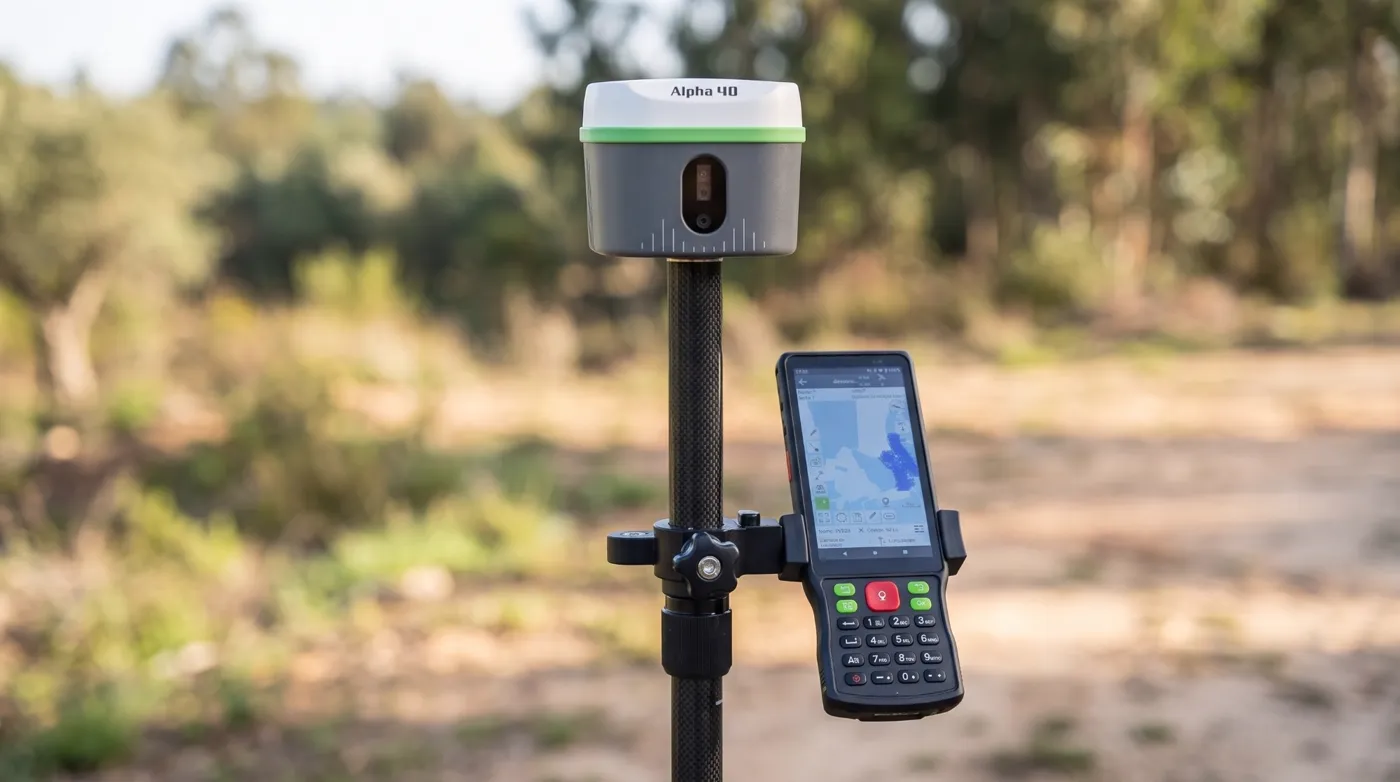
Four reasons for the Alpha 40 GNSS RTK receiver
Survey with a tilted pole
The problemWith the pole held vertical, building corners under eaves, the foot of an overgrown wall or a point next to a parked car are hard or impossible to measure.
The solutionTilt compensation (IMU) corrects the position up to 60° of tilt, with no initialisation: just take a few steps. The surveyor measures without wasting time on the bubble.
Measure at a distance with the laser
The problemThe centreline of a busy road, the crest of an embankment or a boundary mark across a stream force the surveyor into dangerous or unreachable places.
The solutionThe built-in laser, with a calibrated optical sight, measures points up to 50 m away without going there, with 3 to 5 cm at 10 m. The surveyor stays in a safe place.
A photo linked to every point
The problemA list of coordinates with codes such as "TREE" or "MARK" does not show what was measured, and in a meeting with landowners a dot on a map is not very convincing.
The solutionThe photo taken in DiMap Pro is linked to the point. In QGIS, clicking the point shows the photo, the precision and the FIXED or FLOAT status. The office gets the point and the image of the mark, manhole or wall it came from.
Field and office connected, no subscription
The problemMany solutions charge a yearly fee to sync data between the field and the office.
The solutionThe GeoMarco Sync app and the QGIS plugin are included with the Alpha 40, with no monthly fees and no per-user licences.
In the field
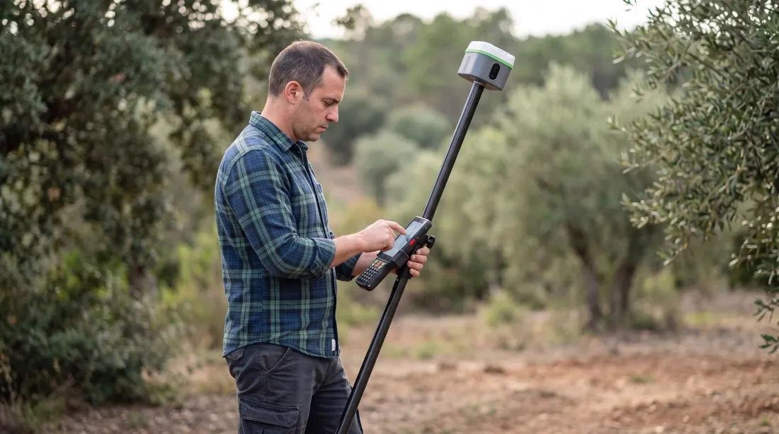
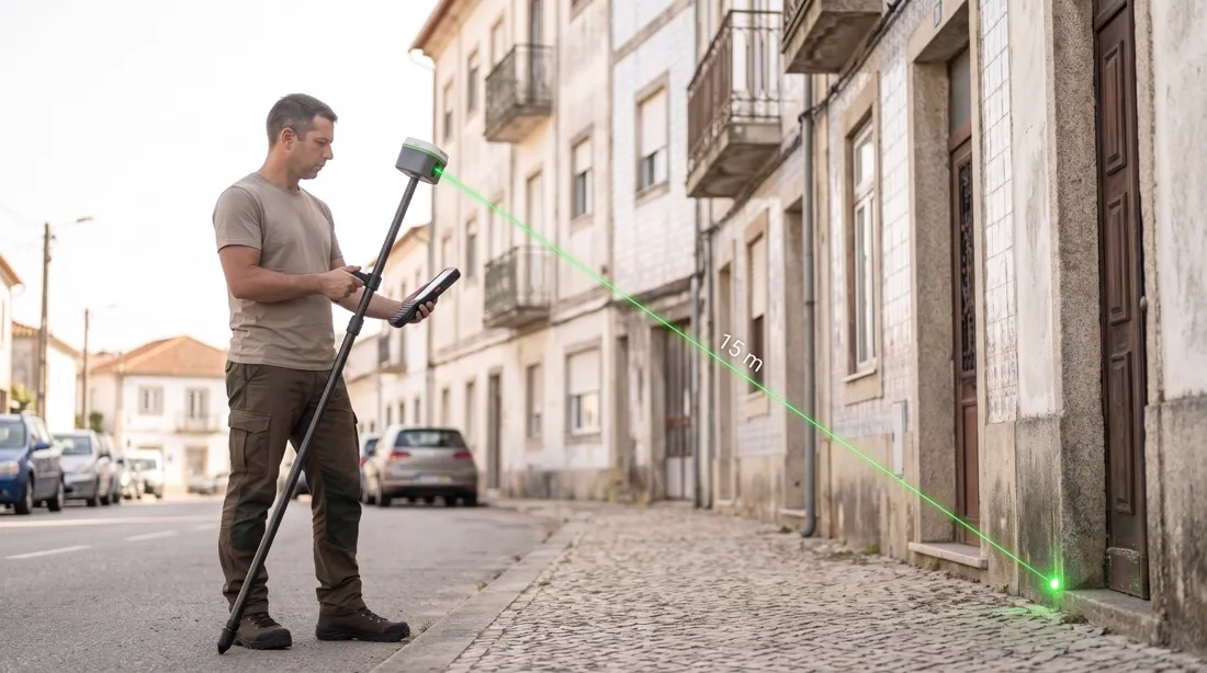
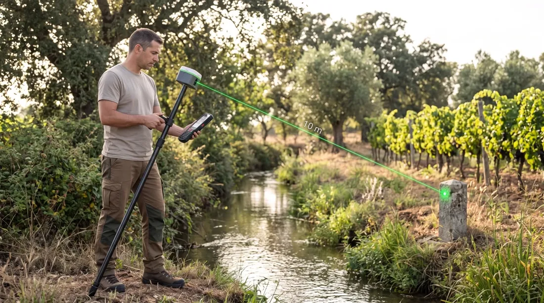
Illustrative images.
Alpha 40 GNSS RTK receiver with DiMap Pro
GNSS RTK receiver with IMU, laser and cameras for augmented-reality stakeout. Sold and supported in Portugal by Map3Dpro.
| Signals | 1408 channels: GPS, GLONASS, Galileo (incl. E6), BeiDou (incl. B2b), QZSS, NavIC |
|---|---|
| RTK accuracy | H ±(8 mm + 1 ppm) · V ±(15 mm + 1 ppm) |
| Tilt | 0.015° IMU, compensation up to 60°, ±(8 mm + 0.3 mm/°), no initialisation |
| Laser | 50 m range (rangefinder ±1 mm); point at 10 m within 3 to 5 cm |
| Communications | 4G, 2 W UHF radio, Wi-Fi, Bluetooth 5.2 |
| Battery | 37 Wh, up to 18 h on NTRIP |
| Ruggedness | IP67, 1.8 m drop, −30 °C to +70 °C, 650 g, 10 × 10 × 8 cm |
| Controller | 5.5" Android with DiMap Pro |
Arrives ready to work
- Alpha 40 GNSS receiver with IMU and laser
- Android controller with DiMap Pro
- Carbon pole
- Carrying case
- GeoMarco Sync app with the activation key
- Initial setup of the equipment and the app, delivered ready to use
- On-site training for your team, in Braga or at another agreed location
- Technical support in Portuguese
Price and purchase
The Alpha 40 price is sent as a quote, with everything the purchase includes: GNSS RTK antenna, Android controller with DiMap Pro, carbon pole, carrying case, the GeoMarco Sync app, setup, on-site training and technical support. Ask for a quote and a demo with your own data.